-
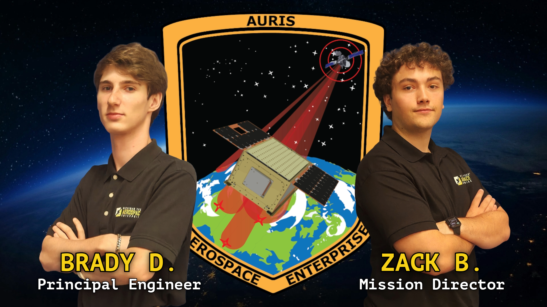
Auris
Revealing the radio landscape of orbit
About the Mission
The Auris Mission is a U.S. Air Force Research Laboratory (AFRL) University Nanosatellite Program (UNP) NS-10 pathfinder mission designed to demonstrate an innovative, low-cost, low Earth orbit platform for characterizing the radio frequency environment of geostationary communications satellites. Auris achieves this by measuring satellite transmission power as it traverses through geostationary beams, collecting high-resolution data that reveal how signal strength varies spatially across its orbital path. By integrating these measurements with precise orbital position data, the mission team produces detailed “beam maps” that visualize the spatial distribution of satellite emissions across the continental United States.
To provide source-of-signal identification, three ground stations strategically located throughout the United States record timing information from the same transmissions observed by Auris. By correlating these time-of-arrival measurements with those captured in orbit, the mission team can accurately infer the orbital positions of the transmitting satellites. Collectively, these capabilities establish a cost-effective framework for mapping geostationary communication signals and advancing the understanding of interference dynamics within Earth’s orbital environment.
-
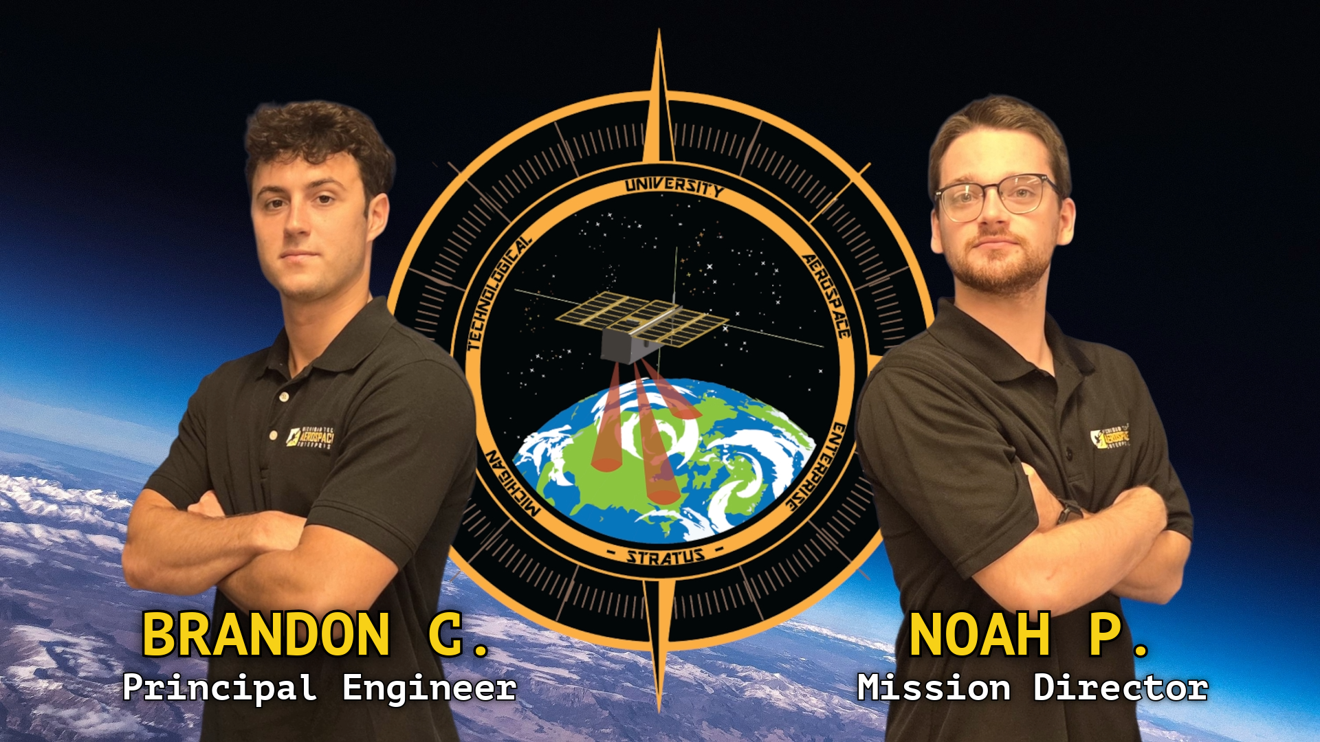
Stratus
Mapping Cloud Cover to Enhance Solar Potential
About the Mission
The Stratus Mission is a NASA CubeSat Launch Initiative (CSLI) science mission designed to demonstrate a low-cost, scalable platform for atmospheric observation and solar energy research. Its primary objective is to collect visible-spectrum imagery of clouds to calculate cloud fraction (CF) and assess its influence on solar energy potential across different geographic regions. By correlating observed cloud coverage with long-term solar efficiency data, Stratus enables improved forecasting of solar availability and supports data-driven site selection for future solar installations. These insights aim to enhance the economic and operational efficiency of solar power systems while providing a foundation for continued research in renewable energy optimization.
The spacecraft is a 3U CubeSat developed on an EnduroSat platform and equipped with a Dragonfly Aerospace Gecko RGB imager. Following deployment from the International Space Station, Stratus will operate in low Earth orbit to capture high-resolution imagery—approximately 30 to 40 meters per pixel—over the Keweenaw Peninsula and other regions of interest. The collected data will enable precise estimation of cloud fraction and temporal variability, offering a continuous dataset for analyzing patterns in solar irradiance and atmospheric behavior. Together, these capabilities establish Stratus as a critical step toward improving solar forecasting and advancing sustainable energy development through student-driven space research.
-
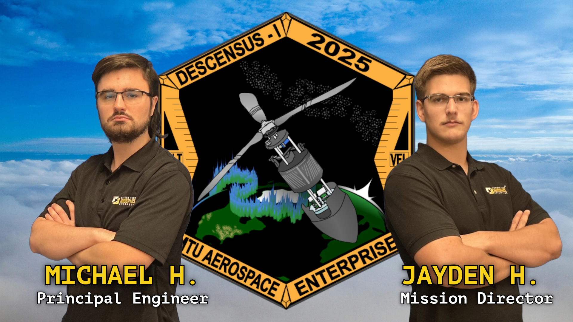
Descensus
Iterating innovation through yearly flight challenges
About the Mission
The Descensus Mission Series represents Michigan Technological University’s entry into the annual American Astronautical Society (AAS) CanSat Design Competition—an international challenge to design, fabricate, and launch a fully functional atmospheric probe within a single academic year. Each Descensus system is developed from concept to flight-ready hardware by a multidisciplinary team of students adhering to professional aerospace design and testing standards. The program’s overarching objective is to engineer innovative systems that meet complex scientific and operational requirements while demonstrating the complete design lifecycle expected in the aerospace industry.
Beginning with Descensus I (2025), which featured a novel autogyro recovery architecture, the series continues to advance toward increasingly sophisticated payloads and autonomous capabilities. The upcoming Descensus II mission introduces a precision-guided paraglider system designed to navigate from rocket apogee to a predetermined target zone, ensuring controlled descent and accurate delivery of sensitive payloads. Through iterative design, rigorous testing, and collaborative problem solving, the Descensus program equips students with hands-on experience in systems engineering while reinforcing Michigan Tech’s commitment to innovation and excellence in aerospace design.
-
Connexus
Innovating workflow management to produce results and accountability
About the Mission
The Connexus Mission is the Aerospace Enterprise’s first internal mission to help with the innovation of workflow by creating a management database. The database will help with collaborative development, different types of task management, and improve lab testing and equipment. The database can be remotely accessed for easy usage by the Aerospace Enterprise members working on any other missions we currently have going on. This mission has no end date, because after the remote database is finished, the Connexus team will transition to our Server and Database Management Team to fix any problems that arise, and implement continuous improvement to fit the needs that might occur in the future.
Connexus began in January 2025, with a powerful server in-house, the Dell PowerEdge R740, which makes our remote access simulations easier for students to get their work done. The team is currently close to finishing the Minimal Viable Product. The end goal for the Connexus mission makes the student-led enterprise more efficient, accountable, and organized, and improves project management